Description
Introduction of RealityCapture for Construction
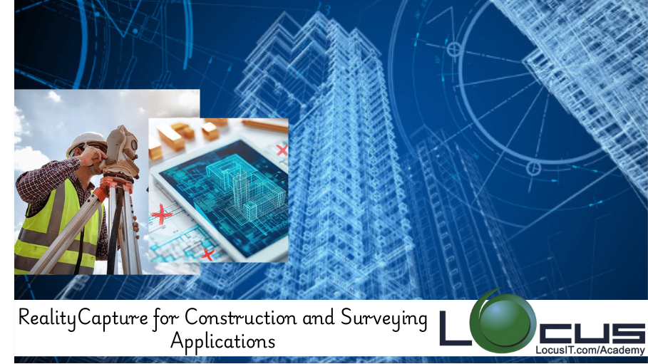
This course focuses on the application of RealityCapture in construction and surveying projects, highlighting how photogrammetry and 3D modeling can improve project efficiency, accuracy, and decision-making. Participants will learn how to use RealityCapture to create highly detailed 3D models, maps, and surveys for various construction and surveying tasks. With practical examples, the course covers the tools and techniques for transforming reality into digital assets that are valuable for construction planning, land surveying, and ongoing project management.
Prerequisites
- Basic understanding of photogrammetry and 3D modeling concepts
- Familiarity with RealityCapture software interface
- Knowledge of surveying tools and techniques (preferred but not required)
- Basic understanding of construction workflows
Table of Contents
1. Introduction to RealityCapture for Construction and Surveying
1.1. What is RealityCapture and Its Role in Construction and Surveying
1.2. Benefits of Using Photogrammetry in Construction Projects
1.3. How 3D Models Improve Surveying Accuracy and Project Planning
2. Setting Up RealityCapture for Construction and Surveying Projects
2.1. Software Configuration and Requirements
2.2. Data Collection Methods for Construction and Surveying Projects
2.3. Choosing the Right Equipment for Image Capture in Surveying
3. Processing Survey Data for Construction Projects
3.1. Importing and Organizing Survey Data for Photogrammetry
3.2. Aligning Images for Optimal Model Generation
3.3. Using Ground Control Points (GCPs) for Accurate Georeferencing
4. Creating High-Quality 3D Models for Construction
4.1. Generating Dense Point Clouds for Detail and Accuracy
4.2. Creating 3D Meshes for Construction Site Modeling
4.3. Texture Mapping and Model Detailing for Construction Applications
5. Topographic Mapping for Surveying
5.1. Generating Accurate Topographic Maps from Aerial and Terrestrial Data
5.2. Extracting Contours and Elevation Data from 3D Models(Ref: RealityCapture for Cultural Heritage Preservation)
5.3. Integrating Survey Data with CAD and GIS for Design and Planning
6. Building Information Modeling (BIM) Integration
6.1. Converting RealityCapture Models into BIM-Compatible Formats
6.2. Leveraging 3D Models for Site Analysis and Planning
6.3. Collaborating with BIM Teams Using RealityCapture Data
7. 3D Visualization for Construction Projects
7.1. Creating Realistic 3D Visualizations for Stakeholders
7.2. Using Virtual Reality (VR) and Augmented Reality (AR) for Immersive Presentations
7.3. Sharing and Presenting 3D Models in Construction Meetings
8. Site Monitoring and Progress Tracking with RealityCapture
8.1. Using Photogrammetry for Ongoing Site Monitoring
8.2. Comparing 3D Models Over Time for Project Progress Tracking
8.3. Identifying Discrepancies Between Design and Actual Construction
9. Surveying Large-Scale Construction Sites
9.1. Handling Large-Scale Projects Using RealityCapture
9.2. Processing Data from Multiple Sources and Locations
9.3. Automating Workflows for Speed and Efficiency in Large Projects
10. Case Studies in Construction and Surveying
10.1. Using RealityCapture for Infrastructure Development Projects
10.2. Photogrammetry in Road and Bridge Surveying
10.3. Real-World Applications: Building Construction, Land Surveying, and Mapping
11. Optimizing RealityCapture for Construction Projects
11.1. Fine-tuning Data Collection and Processing Techniques
11.2. Improving Processing Speed Without Sacrificing Quality
11.3. Troubleshooting Common Problems in Surveying and Construction Projects
12. Post-Processing and Model Refinement
12.1. Repairing and Refining Models for Construction Use
12.2. Enhancing Accuracy with Detail and Precision
12.3. Exporting Models for Further Use in Design and Analysis
13. Exporting and Sharing Models in Construction
13.1. Exporting 3D Models to Industry-Specific Software (CAD, GIS, etc.)
13.2. Collaborating with Construction and Surveying Teams
13.3. Sharing Models with Clients and Stakeholders
14. Conclusion
14.1. Key Takeaways for Using RealityCapture in Construction and Surveying
14.2. Future Trends in Photogrammetry for Construction and Surveying Projects
Conclusion
By integrating RealityCapture into construction and surveying workflows, professionals can significantly enhance the accuracy and efficiency of their projects. This course provides essential knowledge and practical techniques for using photogrammetry to create detailed 3D models, maps, and surveys. By mastering RealityCapture’s advanced features, users can improve project planning, monitor construction progress, and generate high-quality deliverables for stakeholders. As digital modeling and visualization become increasingly important in the construction and surveying industries, this course ensures that professionals are equipped with the tools to stay ahead of the curve.


Reviews
There are no reviews yet.