Description
Introduction of RealityCapture &Drone Imagery
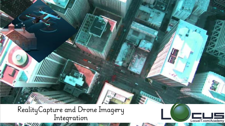
This course focuses on integrating drone imagery with RealityCapture to create high-quality 3D models and maps. Drones are increasingly being used in photogrammetry for their ability to capture vast areas quickly and from unique perspectives. By combining drone-collected images with RealityCapture’s photogrammetry tools, users can generate accurate, detailed 3D models for a variety of applications, such as surveying, construction, environmental monitoring, and more. The course will cover everything from capturing the images to processing them in RealityCapture, ensuring an efficient workflow that maximizes the potential of both drone technology and photogrammetry.
Prerequisites of RealityCapture &Drone Imagery
- Basic understanding of photogrammetry concepts
- Familiarity with RealityCapture software interface
- Knowledge of drone operations and imagery capture (preferably)
- Interest in using drones for surveying, mapping, or 3D modeling applications
Table of Contents
1. Introduction to Drone Imagery and RealityCapture
1.1. Overview of Drone Photogrammetry
1.2. The Role of RealityCapture in Processing Drone Imagery
1.3. Key Benefits of Combining Drone Imagery with RealityCapture
2. Drone Selection and Setup for Photogrammetry
2.1. Types of Drones Suitable for Photogrammetry
2.2. Essential Drone Features for Image Quality and Accuracy
2.3. Preparing Drones for Surveying and Mapping Tasks
3. Capturing High-Quality Drone Imagery
3.1. Flight Planning and Strategy for Maximum Coverage
3.2. Image Overlap and Resolution Requirements
3.3. Managing Flight Altitude and Camera Settings
4. Importing Drone Imagery into RealityCapture
4.1. Preparing Images for Import
4.2. File Formats and Camera Calibration
4.3. Using Ground Control Points (GCPs) for Increased Accuracy
5. Processing Drone Imagery in RealityCapture
5.1. Aligning Images and Generating Sparse Point Clouds
5.2. Creating Dense Point Clouds for Detailed Models
5.3. Generating 3D Meshes and Textures from Drone Data
6. Refining and Optimizing 3D Models
6.1. Enhancing Accuracy and Detail in 3D Models
6.2. Reducing Noise and Correcting Image Distortions
6.3. Optimizing Mesh and Texture Quality for Final Outputs
7. Advanced Techniques for Large-Scale Projects
7.1. Handling Large Areas with Multiple Drone Flights
7.2. Merging Multiple Models and Data Sets(Ref: RealityCapture for Game Development and Virtual Environments)
7.3. Managing Georeferencing and Scale Across Multiple Images
8. Real-World Applications of Drone and RealityCapture Integration
8.1. Surveying and Mapping for Construction and Infrastructure
8.2. Environmental Monitoring and Conservation Projects
8.3. Agriculture, Forestry, and Land Management Applications
9. Sharing and Visualizing 3D Models
9.1. Exporting Models for Further Use and Sharing
9.2. Creating Virtual Tours and 3D Visualizations
9.3. Presenting Models in GIS Software for Analysis
10. Drone and RealityCapture Workflow Best Practices
10.1. Streamlining Image Capture and Processing
10.2. Efficient Workflow for Large-Scale Projects
10.3. Troubleshooting Common Issues with Drone Data and RealityCapture
11. Ethical Considerations and Privacy Issues in Drone Imaging
11.1. Legal Considerations for Drone Use in Public and Private Spaces
11.2. Ethical Concerns Regarding Privacy and Data Use
11.3. Best Practices for Responsible Drone Operation and Data Collection
12. Case Studies: Successful Integrations of Drone Imagery and RealityCapture
12.1. Case Study 1: Using Drones for Environmental Mapping and Analysis
12.2. Case Study 2: 3D Modeling for Construction and Infrastructure Projects
12.3. Case Study 3: Archaeological Site Documentation and Preservation
13. Future Trends in Drone Photogrammetry and RealityCapture
13.1. Emerging Technologies in Drone and Photogrammetry Integration
13.2. Advances in AI and Automation for Drone Data Processing
13.3. The Future of Real-Time 3D Mapping and Visualization
14. Conclusion
14.1. Key Takeaways for Drone and RealityCapture Integration
14.2. Best Practices for Achieving High-Quality Results in Mapping and Modeling
Conclusion
Integrating drone imagery with RealityCapture offers powerful capabilities for producing detailed, accurate 3D models for a wide range of industries. By mastering the techniques covered in this course, users will be able to capture and process drone imagery efficiently, creating professional-quality results for surveying, construction, environmental monitoring, and more. As drone technology continues to evolve, the combination of drones and RealityCapture will remain a key tool for achieving precision in mapping and modeling.


Reviews
There are no reviews yet.