

Description
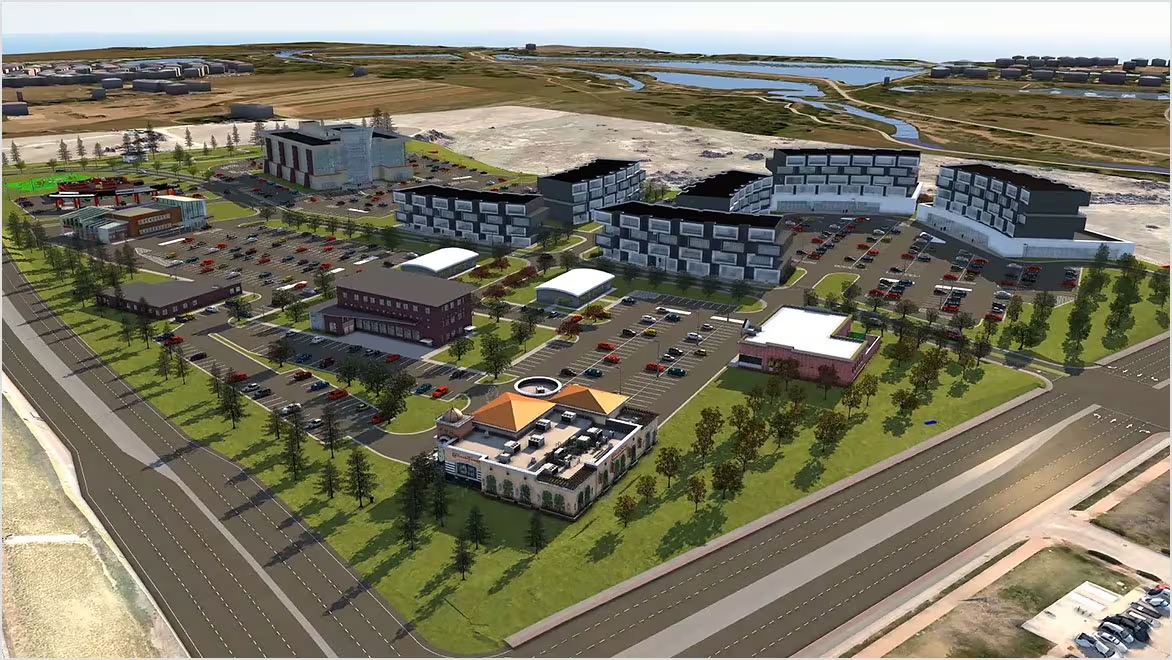
Autodesk InfraWorks this course offers a comprehensive overview, focusing on its capabilities for urban planning and infrastructure design. Participants will learn to create and visualize large-scale infrastructure projects, analyze spatial data, and enhance collaboration among stakeholders. The training combines theoretical knowledge with hands-on exercises, enabling participants to effectively utilize InfraWorks in real-world planning scenarios.
Prerequisites of Autodesk InfraWorks
- Basic Knowledge of Civil Engineering Concepts
- Familiarity with 3D Modeling Software
- No Prior Experience with Autodesk InfraWorks Required
Table of Contents
1: Introduction to Autodesk InfraWorks
1.1 Overview of InfraWorks and Its Applications in Urban Planning
1.2 Understanding the User Interface and Navigation
1.3 Setting Up Projects and Managing Data
2: Creating a 3D Model of the Existing Environment
2.1 Importing and Integrating GIS Data(Ref: Autodesk Alias: Advanced 3D Surface Modeling for Automotive Design)
2.2 Creating Existing Conditions Models from Various Sources
2.3 Utilizing Data Sources for Contextual Analysis
3: Infrastructure Design Basics
3.1 Designing Roadways and Transportation Networks
3.2 Implementing Utilities and Drainage Systems
3.3 Understanding Design Standards and Best Practices
4: Visualizing Infrastructure Projects
4.1 Creating Realistic Renderings and Animations
4.2 Using InfraWorks for Public Presentations and Stakeholder Engagement
4.3 Exploring Virtual Reality Options for Project Visualization
5: Analyzing Project Impact
5.1 Conducting Spatial Analysis and Assessing Site Conditions
5.2 Evaluating Environmental and Community Impacts
5.3 Utilizing InfraWorks Tools for Scenario Analysis
6: Collaboration and Data Sharing
6.1 Collaborating with Team Members in InfraWorks
6.2 Sharing Projects with Stakeholders and Clients
6.3 Integrating InfraWorks with Other Autodesk Products
7: Best Practices in Urban Planning
7.1 Understanding Sustainable Design Principles
7.2 Exploring Smart City Concepts and Innovations
7.3 Case Studies of Successful InfraWorks Projects
8: Final Project and Course Wrap-Up
8.1 Completing a Comprehensive Urban Planning Project
8.2 Presenting Projects and Discussing Key Takeaways
8.3 Review of Key Concepts and Techniques
8.4 Q&A and Course Conclusion
Conclusion
This training equips participants with the essential skills to effectively use this for urban planning and infrastructure design. By mastering these techniques, participants will enhance their ability to visualize and analyze infrastructure projects, contributing to more informed decision-making and successful project outcomes.


Reviews
There are no reviews yet.